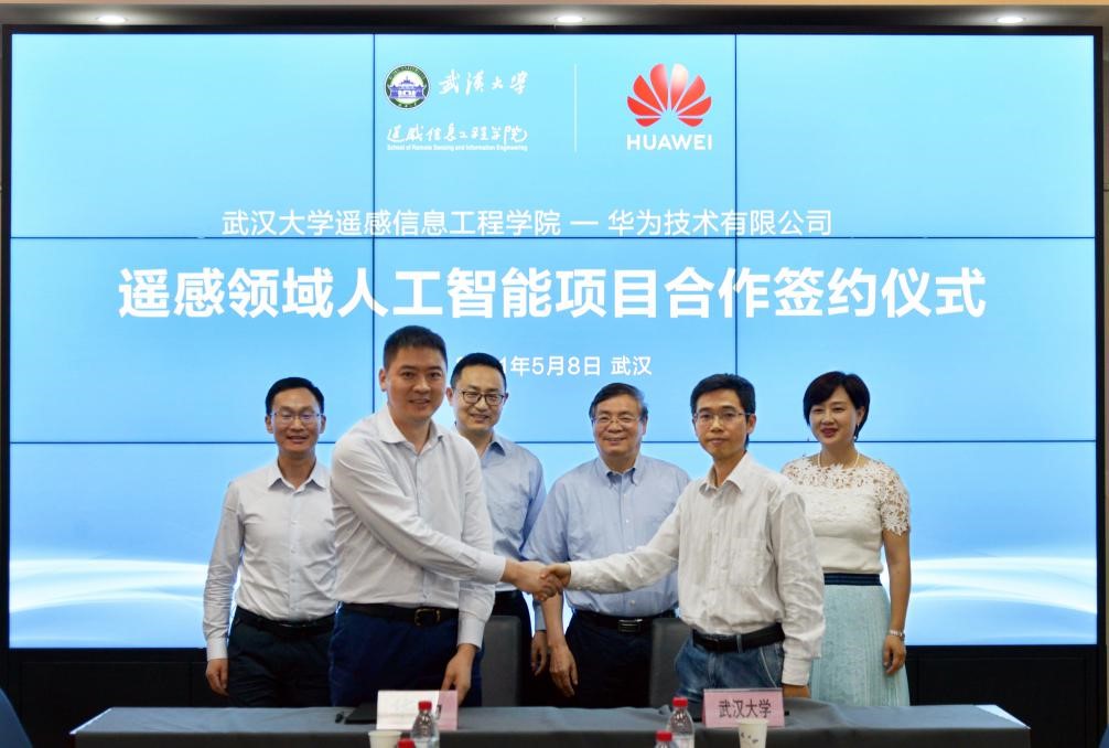
On the afternoon of May 8th, the signing ceremony of the "Remote Sensing Artificial Intelligence Project Cooperation" between the School of Remote Sensing Information Engineering at Wuhan University and Huawei Technology Co., Ltd. was held at the Institute of Aerospace Science and Technology. Professor Hu Xiangyun from the School of Remote Sensing Information Engineering at Wuhan University and Liu Xiangqing, the General Manager of Cloud and Computing at Huawei Hubei Province, signed the "Remote Sensing Artificial Intelligence Project Cooperation Agreement" on behalf of the school and the enterprise. Gong Jianya, professor of the School of Remote Sensing Information Engineering of Wuhan University and academician of the CAS Member, He Jun, director of the Industry University Research Cooperation Office of the Academy of Science and Technology Development, Xu Yingtong, president of Huawei Shengteng computing business, and Zhang Jichao, director of the Institute of Wuhan Research, witnessed the signing of the cooperation agreement.
Regarding the signing of this cooperation agreement, Academician Gong Jianya pointed out that the widespread application of remote sensing earth observation technology in fields such as land and resource planning and natural environment monitoring is a strategic requirement of the country. Wuhan University's remote sensing major is at the forefront of the world, but due to the nature of the field, remote sensing image interpretation is more complex than general image recognition. Currently, most remote sensing mapping tasks rely on manual interpretation, and there is an urgent need to combine AI to solve this problem. At the same time, deep learning technology for remote sensing image processing urgently requires a large-scale remote sensing image sample library, as well as deep learning frameworks and models with remote sensing characteristics to support it, which is also an urgent need in the industry. I hope to cooperate with Huawei this time, leverage the advantages and resources of both parties, jointly carry out research on intelligent processing of remote sensing images, and solve technical problems in the field of remote sensing.
President Xu Yingtong stated that AI can only maximize its value when combined with scenario applications. Remote sensing is a technology related to national economy and people's livelihood, and enterprises and research institutes need to make strategic investments together to leverage their respective advantages in order to accelerate and better mature the industry. Wuhan University has a deep technological accumulation in remote sensing technology, and Huawei has the advantage of basic software and hardware platforms. The cooperation between the two parties will combine remote sensing application needs to carry out deep layer optimization, including CANN and MindSpore, to better enable remote sensing applications, empower remote sensing research and industry application ecology.
At the meeting, Le Peng, Vice Dean of the School of Remote Sensing Information Engineering at Wuhan University, introduced the key points and prospects of cooperation between the two sides. The responsible persons of both parties discussed the specific content of the artificial intelligence project cooperation in the field of remote sensing, including technology, platform, application, etc. They also planned for MindSpore support and optimization of the remote sensing feature framework, release of data sample libraries and crowdsourcing sample collection tools, and cooperative operation and maintenance of the open source remote sensing community.
This cooperation is another significant collaboration following the joint construction of the "Intelligent Base" and the Space Information Technology Innovation Laboratory Fund by Wuhan University and Huawei. It can not only accelerate the landing of Wuhan University's scientific research achievements in the field of remote sensing in Hubei, assist in the incubation of domestic remote sensing applications, but also fill the gap in the field of remote sensing without independent dedicated deep learning frameworks, for natural resource monitoring, social and economic development evaluation Providing technical, platform, and application support for national level major scientific research tasks such as humanitarian assistance, further driving the accelerated development of the remote sensing industry.