On January 6th, the National Natural Science Foundation of China's major research program integration project "Construction of Large scale Remote Sensing Image Sample Library and Research on Open Source Remote Sensing Deep Network Framework Model", undertaken by Wuhan University, released the world's first intelligent interpretation machine learning framework for remote sensing images, LuoJiaNET, and related achievements of the remote sensing image sample library, LuoJiaSET. This achievement lays the foundation for the verification of new theories and technologies in remote sensing intelligent interpretation, and also provides a platform and technical support for scientific research and application of remote sensing information intelligent processing in natural resource monitoring and socio-economic development.
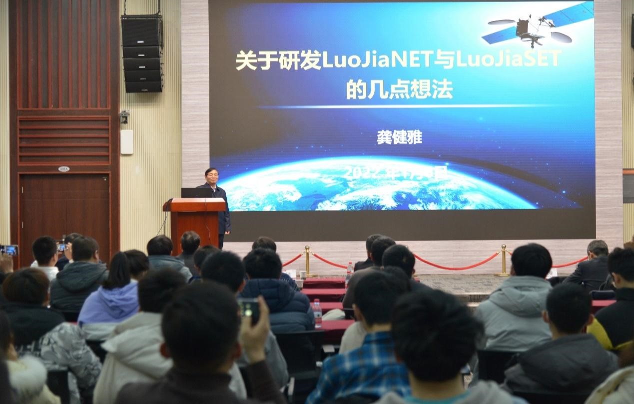
At the press conference, Professor Gong Jianya, an academician of the CAS Member, first introduced the background and significance of the project. Professor Hu Xiangyun gave a detailed introduction to the technical achievements of LuoJiaSET and LuoJiaNET. Associate researchers Jiang Liangcun and Zhang Mi demonstrated the two systems and engaged in interactive Q&A with attending teachers and students. Professor Li Deren, an academician of the Chinese Academy of Sciences and the CAE Member, attended the conference and put forward guidance on optimizing top-level design for the further development of LuoJiaNET and LuoJiaSET. Nearly 600 people, including Professor Chen Ruizhi, director of the State Key Laboratory of Surveying, Mapping and Remote Sensing Information Engineering of Wuhan University, Professor Le Peng, vice president of the School of Remote Sensing Information Engineering, Liu Junyi, head of Huawei's Hubei Ministry of Industrial Development and Ecology, members of the Intelligent Remote Sensing Open Source Ecological Alliance, as well as upstream and downstream partners of industrial ecology, teachers and students of Wuhan University, attended the conference offline or online.
It is reported that based on the technical route and research needs, the project has formed an interdisciplinary research team, headed by Professor Hu Xiangyun, bringing together young and middle-aged academic backbones from the School of Remote Sensing Information Engineering, the State Key Laboratory of Surveying, Mapping and Remote Sensing Information Engineering, and the School of Computer Science. Under the guidance of Academician Gong Jianya, after a year of research and development, the project has achieved the following main results: (1) proposed classification standards and annotation specifications for remote sensing image datasets, developed an Internet collaborative sample annotation system, constructed multi type, million scale annotation data and standard datasets, and their publishing platform - LuojiaSET; (2) Based on the characteristics and application requirements of remote sensing images, an open-source deep neural network architecture, model, and network optimization method for remote sensing image processing have been developed, forming a remote sensing deep learning framework - LuojiaNET - with flexible creation of scale channels, adaptive selection of data channels, and multi-level joint optimization. The team also signed a cooperation agreement with Huawei for artificial intelligence projects in the field of remote sensing, attracting leading remote sensing institutions and enterprises. Under the guidance of the China Remote Sensing Application Association, the Intelligent Remote Sensing Open Source Ecological Alliance was established, which has constructive significance for promoting the progress of remote sensing technology in China, enhancing the core competitiveness of industrial clusters, and enhancing the independent innovation ability of enterprises.